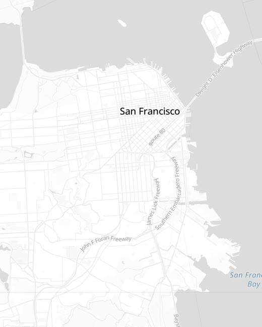
Region & country highlighter
Trace any state, district or country with surgical precision. Gradient, hatch, dotted or solid fills with animated, glowing borders.
The big idea
A map is a story waiting to move. AYK's Map Studio lets you animate every frame of it — the region, the route, the camera, the caption.
Everything is animatable
Every control is a keyframe under the hood — but you never have to touch one. Tune what you see, and AYK's Map Studio animates it for you.
Trace any state, district or country with surgical precision. Gradient, hatch, dotted or solid fills with animated, glowing borders.
Generate parabolic arcs with altitude in one click. Hub mode branches every stop from a single origin — up to ten points per scene.
Set pitch, bearing and zoom like a director. Globe or flat, sunset or dawn — the camera flies between your keyframes on its own.
Pulse, glow, electric, flicker or flash — make the region that matters demand attention, with strength dialled exactly where you want it.
Drive the story with on-map titles, labels and timed captions. Control the narration so the data lands exactly when the camera does.
Export broadcast-ready MP4, image or PDF in 16:9, 9:16 or square — drop straight into Premiere, Final Cut, LinkedIn or YouTube.
Go beyond outlines — choropleths, heatmaps, hex grids and 3D-extruded geometry turn raw numbers into a map that reads at a glance.
Snap routes to actual roads and send a marker — car, plane, train or ship — gliding along the path, banking through every turn.
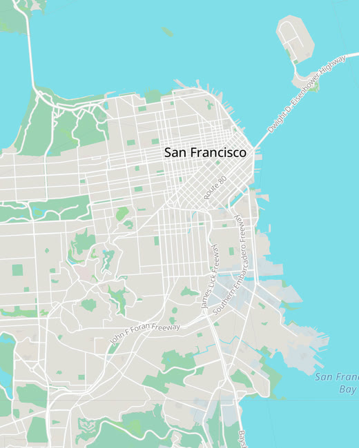
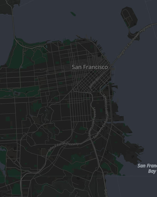
Basemaps
Every basemap renders from open OpenStreetMap & Protomaps data — switch styles freely, with no tokens, quotas or third-party keys to manage.
See it move
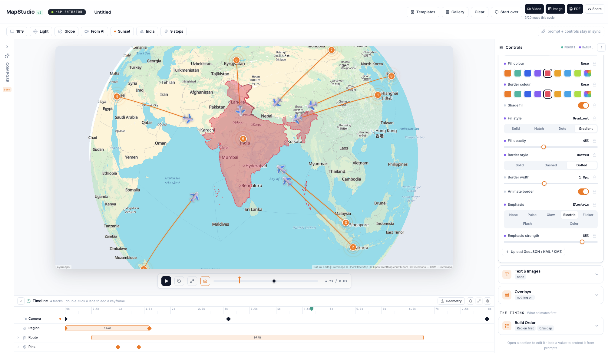
The real editor — compose the scene, dive into the live map, tune every control, then pull back to render.
Map canvas in the centre, controls on the right, the keyframe timeline below. Everything you need to direct a scene is in view.
Drop pins, draw routes, highlight India and its neighbours. The map is live OpenStreetMap data, not a static picture.
Fill style, border, opacity, emphasis, build order — adjust what you see and lock what you love. No keyframe wrangling.
Camera, region and routes animate in the order you set. Export MP4, image or PDF — ready for the feed or the broadcast.
How it works
Four steps. No keyframes required — though they're there the moment you want them.
Type the scene in plain language — "trace a 5-day road trip through Karnataka" — or drag in a GeoJSON, KML or KMZ file.
The engine turns your brief into an editable scene — camera, routes, region highlights and overlays already laid out and in sync.
Tune fills, routes, pins, emphasis and build order. Lock any value so a re-prompt can't touch it. Every change renders instantly.
Hit render. In about a minute you have a broadcast-ready MP4, image or PDF — in whatever aspect ratio your platform needs.
The Living Inspector
Three columns keep the whole scene at your fingertips, with the live preview in the middle updating the instant you touch anything.
From data to story
Columns auto-detect into places, coordinates, numbers and dates — then become points, routes and animated layers. No GIS knowledge required.
Total control
Compose with AI, then take the wheel. Style every layer with real controls, and keyframe the camera, routes, regions and overlays on a precise timeline — down to the frame.
AYK's Map Studio is home-grown in India and built on open map data — so you're never renting your basemap from Google or Mapbox. Run it in our cloud, or self-host the whole engine inside your own network.
Render on infrastructure you control. Nothing leaves your network unless you want it to.
Deploy the full Map Animator on your own servers — air-gapped if you need it.
Powered by OpenStreetMap & Protomaps — no proprietary basemap lock-in, ever.
Use cases
Turn an itinerary into a cinematic flight-path intro your audience actually watches to the end. 9:16 for Shorts, 16:9 for the main feed.
Highlight a constituency, trace a supply route, or map an event with surgical precision — broadcast-ready in minutes, on deadline.
Fly clients from city to neighbourhood to doorstep. Brand the colours, add overlays, and export a share-ready reel for every listing.
Self-host the engine, keep sensitive geodata in-country, and produce briefing-grade visualisations without a GIS team.
Export
MP4 · 720p / 1080p / 4K · 30 or 60fps · 16:9 · 9:16 · 1:1 · 4:5
High-resolution hero stills — PNG or JPG — for thumbnails and decks.
A multi-page, print-ready itinerary generated straight from your scene.
A read-only public URL — no login required to view.
Stock media library
Browse and download royalty-free stock video and imagery — travel, cities, drone and B-roll — to drop straight into your scenes and edits. Included with every AYK Studios account.
What used to take a motion designer an afternoon now takes about sixty seconds.
Pricing
Your first maps are on us — no credit card required.
FAQ