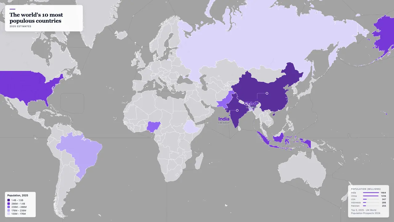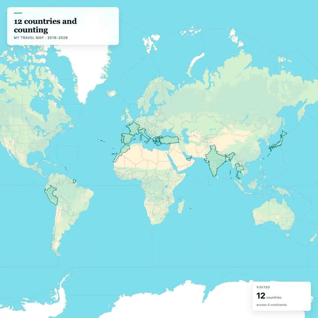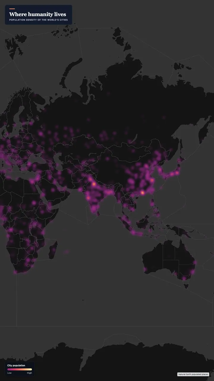

0:12
World's Biggest Cities — Animated Bubble Map
An animated bubble map of the world's largest cities, each circle sized by metro population on a dark basemap with a legend. A ready-made data visualisation for explainers, geography lessons and urbanisation stories.
- Type
- video
- Length
- 0:12 · 16:9
- Resolution
- 1920×1080
Free with an AYK Studios account · royalty-free licence
What's in this template
- A bubble map: one circle per place, sized by value.
- On-screen text: 1 title card, 1 legend.
- Drawn on a dark map, as a flat map.
- 12 seconds at 30 fps, 16:9 (1080p).
How to make it yours
- Click Use this template to open it in the studio, in your browser, with nothing to install.
- In the Studio tab, replace the figures with your own data. Or describe the change to the AI agent in plain words (AI prompts depend on your plan).
- Adjust the map style, camera and text, then export an MP4. The free plan exports at 720p with a small badge, and paid plans export in HD without it.
Learn more: Animated data maps