
0:14
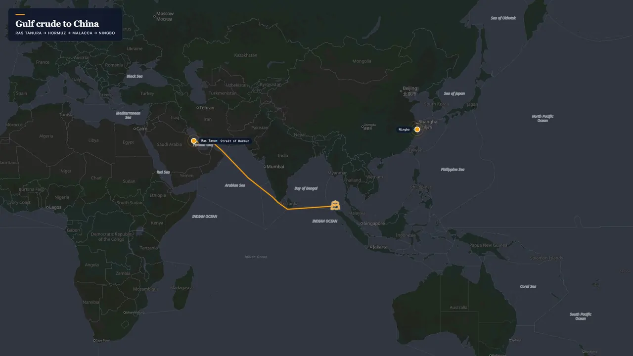
Strait of Hormuz Map Animation — Oil Chokepoint Explainer
A news-style explainer map that spotlights the Persian Gulf, traces the Strait of Hormuz with an electric outline, draws the tanker lane and rings the chokepoint, with a stat card. Ready for geopolitics, energy and shipping coverage.
- Type
- video
- Length
- 0:14 · 16:9
- Resolution
- 1920×1080
Free with an AYK Studios account · royalty-free licence
What's in this template
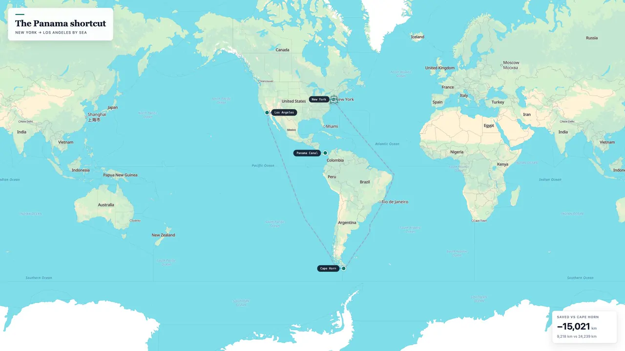
- An animated route that draws curved arcs between stops, with a 3D ship travelling along it.
- A highlighted region group that fills in on cue.
- A shaded area to mark a zone on the map.
- On-screen text: 1 title card, 6 callouts, 1 stat card.
- Drawn on a dark map, as a flat map.
- 14 seconds at 30 fps, 16:9 (1080p).
How to make it yours
- Click Use this template to open it in the studio, in your browser, with nothing to install.
- In the Studio tab, pick the countries or regions you want to highlight. Or describe the change to the AI agent in plain words (AI prompts depend on your plan).
- Adjust the map style, camera and text, then export an MP4. The free plan exports at 720p with a small badge, and paid plans export in HD without it.
Learn more: Animated route maps · How to animate a flight path